El Niño is expected to bring a warmer winter, but that doesn’t mean you won’t need to bundle up.
This year’s El Niño is already categorized as Very Strong, and it could grow even stronger before peaking in November or December. The weather phenomenon comes from warming temperatures in the Pacific Ocean around the equator.
"In fact, there's an 83% chance that this will become the strongest El Niño dating all the way back to the 1950s. So something we really haven't seen at all,” said Josh Sandstrom, a meteorologist with the National Weather Service in Duluth during a presentation on the agency’s winter 2026-27 outlook.
Previous El Niño winters have had higher temperatures and less snowfall.

But Sandstrom warned while the winter outlook suggests a warmer season overall, it can only offer an average probability across a three-month span and makes no guarantee of day-to-day weather.
“It's not to say that we're going to be completely free of the brutal cold that we typically see — the teens and 20s below zero, even colder than that sometimes. It's no guarantee of that, but it does increase the odds that we'll probably see less of these cold air outbreaks, and they may be less extreme,” Sandstrom said.
Precipitation, including rain and snow, can also vary between years and is harder to predict. But with warmer temperatures, there could be more rain or rain-snow mix.
“Even though there's a strong lean towards below-normal snowfall with the El Niño this winter, that doesn't mean we can't see snowstorms or even major snowstorms. You know, maybe one or two of them. It's definitely possible,” Sandstrom said.
The most recent El Niño happened in 2023, what’s known as “The Lost Winter.”
Warm temperatures left brown and green lawns without a white blanket of snow on Christmas Day.
“This outlook doesn't guarantee anything like a brown Christmas around the Northland this year, just because it happened in a previous El Niño. But the odds will certainly be tilted closer to that happening versus other years,” Sandstrom said.
Sandstrom said there are also other factors that can’t be predicted as far in advance that could lead to a colder and snowier season, despite El Niño.
El Niño means “the Christ child” in Spanish. The name is a nod to the phenomenon occurring around Christmas.
Stella Mayerhoff is a Report for America corps member, covering Minnesota’s headwaters region for KAXE in Grand Rapids, Minnesota. Report for America places talented journalists in local newsrooms to report on under-covered issues and regions.
-
 In this contributed essay, Majority in the Middle Executive Director Shannon Watson explores political divides, after the election season.
 -
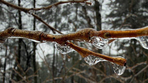 Contributed/Hayley MadlandCharlie Mitchell listens to Sandhill Cranes, ponders Bald Eagle courtship, and learns about cold hardiness in plants.Send us a voice memo through SpeakPipe!
 -
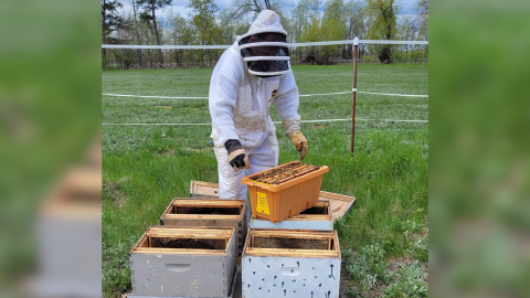 Contributed/Bee'n Happy FarmsBee’n Happy Farms is among the awardees of a Minnesota Department of Agriculture grant that helps beginner farming businesses grow.
 -
 Plus: Brainerd Schools working on bullying action plan after independent review; and Google ditches tax abatement in Hermantown.