BRAINERD — A new weather radar installed in Brainerd on Tuesday, Sept. 15, will provide critical data when dangerous weather hits.
The radar is a partnership between the National Weather Service and the private company Climavision. Public safety officials in Crow Wing County will have access to the data it collects.
"Brainerd kind of lies in between the — almost equidistant from — the Minneapolis, Duluth and the radar that's west of Grand Forks, [North Dakota],” said Joe Moore, warning coordination meteorologist at the National Weather Service in Duluth.
He said Brainerd’s location offers a great opportunity for the new radar. The area currently lacks high-quality weather radar coverage, despite having one of the highest yearly averages for severe thunderstorm warnings among Minnesota counties.
The reason for the weather radar gap comes down to how radar works. A radar’s beam travels along a straight line. The farther the beam gets from the radar, the less it’s able to detect.
Standard weather radars used by the weather service emit a beam that travels at an upward angle, leaving an area below the beam and making it difficult to collect information about the weather closest to the ground.

“From our radar, we're looking 6,000 feet or higher at that thunderstorm at that range, and so we can't see the very low levels, the first few hundred feet of that storm to see really tight rotation,” Moore said.
This leaves gaps in coverage across Northern Minnesota, including Brainerd.
In 2022, Pope County reported that 72 of 87 counties and 11 tribal reservations in the state had low-level weather radar gaps.
The solution: more weather radars.


“We started the conversation a few years ago with Climavision about installing one of their radar systems in our area, just because their systems are designed to capture that low-level atmosphere in the weather in that area,” Brainerd Fire Department Chief Tim Holmes said.
In 2009, the National Weather Service launched the National Mesonet Program, which allowed the agency to buy surface weather station data — mostly from states. The program expanded in 2023 to allow the service to buy other forms of data, including satellite, radar and other commercial data.
The weather service has an agreement with Climavision to use its data, including that collected from the new radar in Brainerd.
“Instead of going through a process where the National Weather Service evaluates the technology [and] builds our own network, in a lot of cases, it's more efficient for us to just buy the data and buy access to the data on an annual or longer basis,” Moore said.
Climavision points to a long-track tornado that devastated southern Kentucky last year as an example of when its technology showed an improved response time.
The company reported its radar, which filled a low-level coverage gap, detected the tornado debris 13 minutes earlier than the existing radar, providing 13 extra minutes for families to seek shelter and emergency managers to act.

Most people won’t see a change in their weather apps, as most platforms won’t have access to the data. However, weather service meteorologists and public safety organizations will use it to evaluate storms and make warning decisions.
“It's really beneficial for our public works departments throughout the county and area to have a more accurate depiction of what's coming up for weather,” Holmes said.
The radar is located on top of the Brainerd Public Utilities water tower located off Highway 18. Moore said there are plans to install more Climavision radars in Minnesota, including one near Bemidji by the end of 2027.
Stella Mayerhoff is a Report for America corps member, covering Minnesota’s headwaters region for KAXE in Grand Rapids, Minnesota. Report for America places talented journalists in local newsrooms to report on under-covered issues and regions.
-
 Emma Krab/KAXEThe tax used to fund civic center improvements will end Dec. 31, 2026.
 -
 Contributed/Michelle BedfordGet to know the volunteers behind the mic on KAXE. This week we find out more from longtime On The River host and volunteer, Michelle Bedford.
 -
 Maria Hileman/KAXEKAXE's weekly list of concerts near you features Known Only Locally, The Brothers Burn Mountain, Tattletale and a Community Open House Jam.
 -
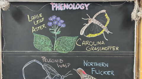 Contributed/Chad KaddatzDuring the week of Sept. 15, 2026, we enjoy reports of changing leaves and migrating birds and insects. Staff phenologist John Latimer responds.