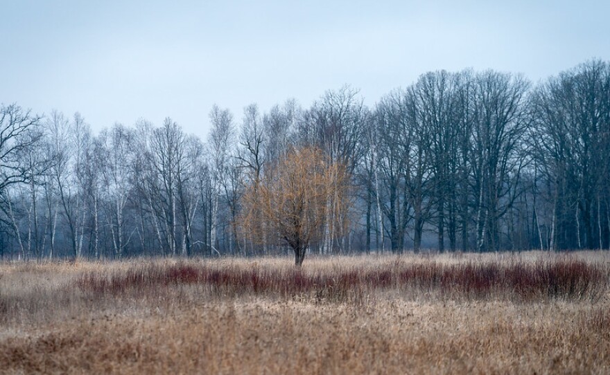
For Minnesotans, winter is easy to visualize. Trees glistening with frost, large snowflakes gently falling and feet of densely packed snow with a few inches of powder regularly replenished throughout the season. While every season has its surprises, those winterscapes can be expected to brighten the long, dark, cold months.
But most of this winter, any snowfall quickly melted. It rained on Christmas. The landscape remained brown, more reminiscent of April or May than December or January.
In typical Minnesota fashion, a spring snowstorm brought 1 to 2 feet of snow and borderline blizzard-like conditions across much of the state. The storm could be Mother Nature’s last-ditch effort to prevent this winter from breaking records for mildness, but it won’t undo the months of above-average temperatures and dry ground that have already left a mark.
The last few months of wacky weather can be attributed to two things, according to Melissa Widhalm, the associate director and regional climatologist at Purdue University’s Midwest Regional Climate Center: El Niño and a long-term trend of warming.
“And then if we want to take a triple whammy, we layer on top of that the lack of snowfall this season has really been reinforcing the warmth as well,” Widhalm said. “Because when we don't have snow, we're not getting that sunlight to reflect away and instead it's heating the ground. So it's kind of a triple threat that we've been seeing here.”
The Midwest Regional Climate Center uses AWSSI, or Accumulated Winter Season Severity Index, to measure and compare winters. AWSSI doesn’t just track weather from December through February, the climatological definition of winter. Scores begin accumulating with either the first measurable snowfall or temperatures at or below 32 degrees, whichever comes first. Scores will begin on Dec. 1 if neither occurs before that date.
Points are calculated each day based on maximum and minimum temperatures, snowfall and snow depth. Scoring stops with the final occurrence of any of three indicators: last measurable snowfall, last day with an inch of snow on the ground or last day with temperatures below freezing. If those criteria are met before Feb. 28/29, that date marks the end of the winter.

This winter has been record-shatteringly mild for much of Northern Minnesota, Widhalm said.
“It’s just off the charts how mild some of these Upper Midwest stations have been,” she said. “I mean, that index goes back to 1950, and it is just off the charts mild.”
The warm weather and lack of snowfall has caused economic challenges for many businesses in the region that rely on winter tourism, driven by activities like snowmobiling and ice fishing, to sustain them.
Most of the state is already experiencing abnormally dry conditions that are expected to continue into the summer. Yet this winter hasn’t been completely dry. Widhalm said there’s a strong association between El Niño and below-average snow cover, but that’s largely due to El Niño’s warm weather.
“You had your wettest December on record just this December 2023, and yet you had almost no snow cover, right?” she said. “All of that was coming as rain,”
Those above average temperatures have Minnesota on track to “shatter” the previous warm winter record.
“The state was 8.5 degrees above the historical average [in 1997-98],” Widhalm said. “That was a very strong El Niño year as well. Right now, the state is running about 12.1 degrees above normal, so we're talking several degrees above what even the record was.”
Widhalm said this winter has been remarkable across the Midwest but Minnesota was at the weird weather’s epicenter. The National Weather Service has issued a La Niña watch, so next winter shouldn’t be affected by El Niño. But climate change is causing winter to warm faster than any other season in the state, and Widhalm said Minnesotans should heed this remarkable winter.
“Winter's not gone. It's still plenty cold, but it looks and it feels quite a bit different this season than in past seasons.,” she said. “And so I would use this as an indicator of some of the things that we need to keep preparing for as we go into the future.”
-
The Iron Range Child Care Task Force says employer contributions, public wage subsidies and philanthropic support can save struggling providers and build capacity.
-
Plus: Bemidji State University celebrates an $8.1M gift from an alum's trust; and 40,000 seedlings are planted in forests burned last year by the Munger Shaw Fire.
-
The St. Louis County Land & Minerals' forestry division oversaw the planting of red and white pine seedlings over about 48 acres of tax-forfeited land that had burned.
-
One program will be developed by Central Lakes College for an Eagan company. The other two are for manufacturers with locations in Brainerd and Fosston.


